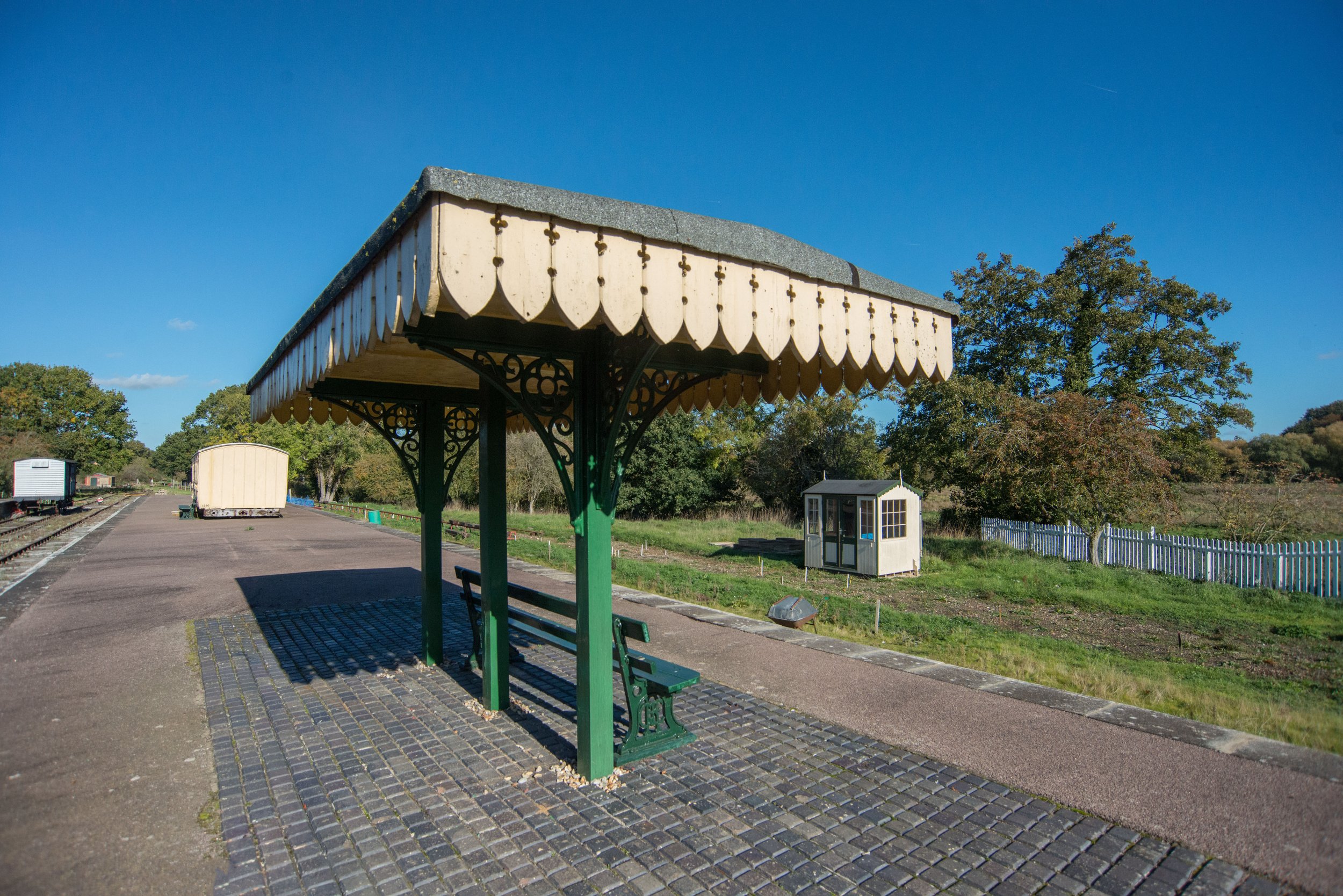
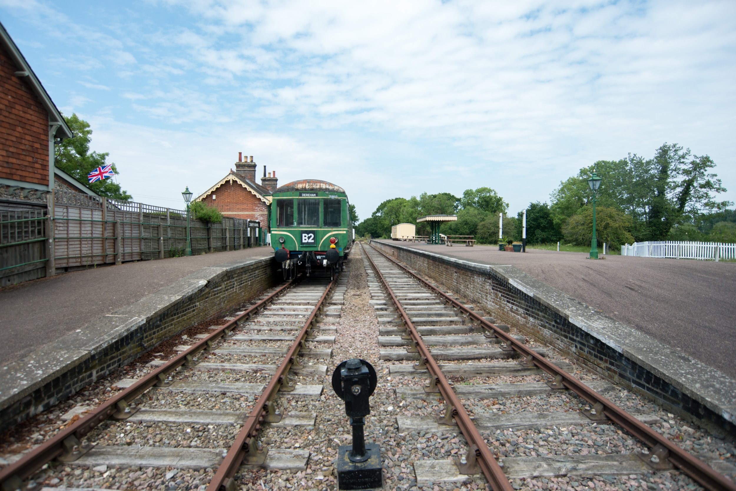
Welcome to Norfolk's disused railway part 2 covering the Mid Norfolk Railway from Dereham to County School.
Please click here for part one Dereham to Wymondham
Please see the Google Maps coverage below from the North Norfolk Railway. The yellow line covers from Dereham to Wymondham Abbey, and the blue line covers to County School.

DEREHAM TO COUNTY SCHOOL
The Mid Norfolk Railway owns approximately 6 miles of track bed, which extends up to County School Station. Out of this, 3.5 miles from Worthing are currently operational, while the remaining 2.5 miles between Worthing and County School pass through North Elmham station. There is also a one-mile section on the old track bed where no railway track has been relaid down as yet.
The Mid Norfolk Railway has plans to reopen the line between Dereham and County School and also to relay the track past Worthing. If completed, this would make the Mid Norfolk railway one of the longest heritage railways in the country. Currently, the part of the line between Dereham and Worthing is only operational on special occasions up to Hoe Crossing. However, at the time of writing, this part of the line was out of commission, but it is hoped that it will be up and running again soon.
Leaving Dereham for County School
Leaving Dereham the Mid Norfolk railway crosses three level crossings on its departure through Dereham.
Northal Green Bridge
Bridge 1698
© Copyright Ashley Dace and licensed for reuse under this Creative Commons Licence.
© Copyright Ashley Dace and licensed for reuse under this Creative Commons Licence.
Hall Road Hoe Crossing.
© Copyright Michael Garlick and licensed for reuse under this Creative Commons Licence.
The next bridge I came across was located on an unknown road after Hall Road Crossing (Hoe Crossing).
Please see the Google Maps position for the location of this bridge.
The following Bridge i came across was what seemed to be a farm crossing over the top of the old Wells to Wymondham (Mid-Norfolk Railway)
Please see the Google Maps position for the location of this bridge.
The next bridge I came across on the Mid-Norfolk Railway was an overpass that appears to have been used for farm traffic when the Wells to Wymondham line was in operation.
Please see the Google Maps position for the location of this bridge.
Shortly after this overpass bridge, I came across another Level crossing. This one was on Hoe Road.
The track bed heading towards North Elmham.
Shortly after the level crossing at Hoe Road, I found this railway bridge crossing a small river stream in the distance.
North Elmham Station
North Elmham station was first opened in 1849 and was later renamed North Elmham in 1872. The station building has since been converted into a residential property and now has one platform.
Heading off towards County School
Between North Elmham station and County School stands what seems to be a farm crossing bridge.
Paul Shreeve Creative Commons Attribution-Share Alike 2.0
County School track bed
The track bed leading to County School station.

COUNTY SCHOOL STATION
END OF THE MID NORFOLK RAILWAY
County School Station, located 17 miles and 40 chains away from Wymondham, was established in 1886. It served both passenger and freight trains until its closure in 1964. In addition to this, the station was also used for services that ran on the East Norfolk Railway from Aylsham to Wroxham, which ceased operation in 1952. The station had three platforms - an up and down platform for Wymondham to Wells services and a bay platform for services to Wroxham. The junction for Wroxham services was located towards Wells at Broom Green.
Remnants of County School station, 1986
Creative Commons Attribution Share-alike license 2.0Attribution
(required by the license)Ben Brooksbank / Remnants of County School station, 1986 /


